Projects
AI, geospatial and web products built for research, climate and commerce.
Digital soil mapping
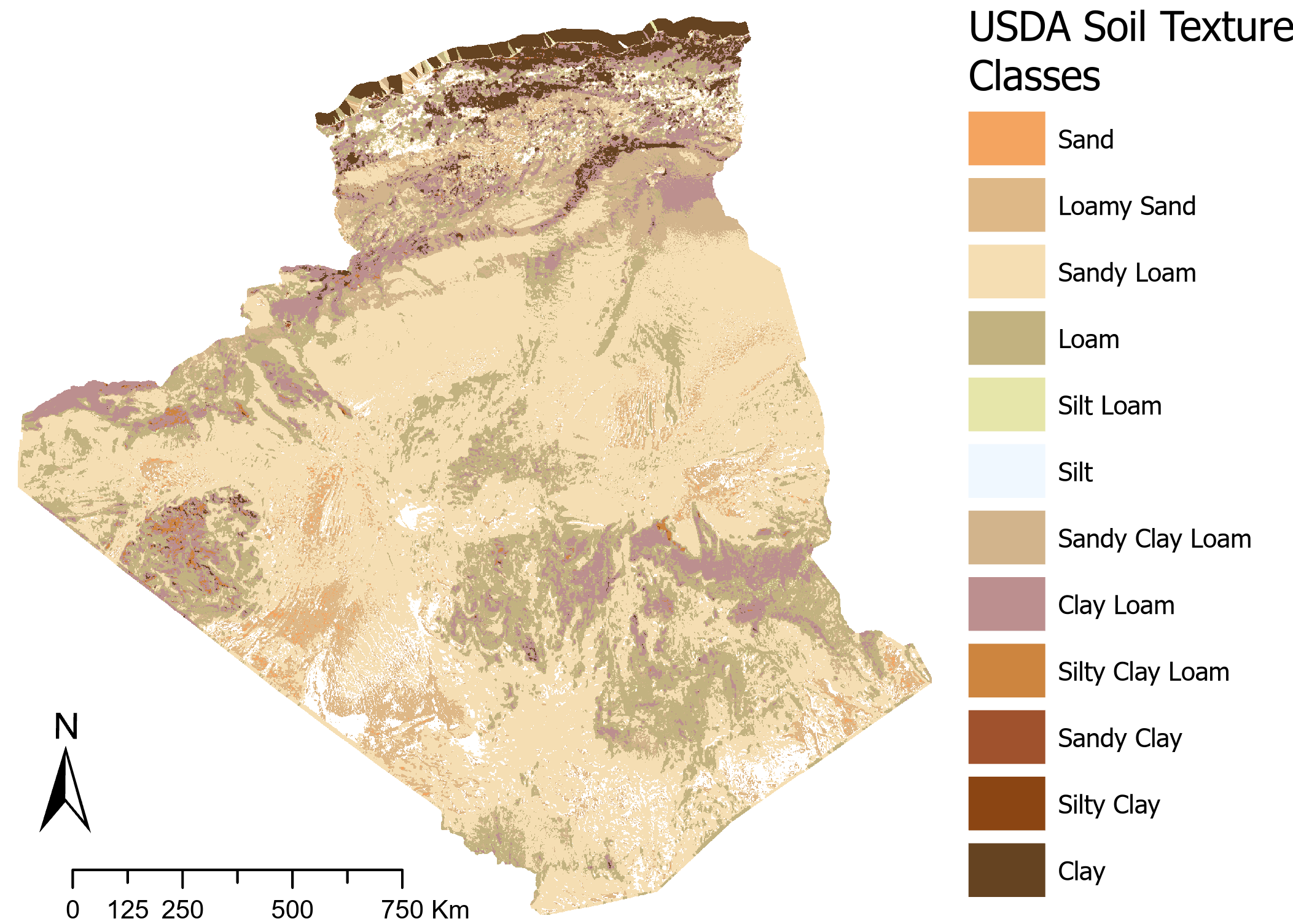
Agentic AI and Explainable attention-based digital soil mapping
Attention-based deep learning to map soil properties in Algeria, with explainability and an agentic AI layer, an extension and improvements to the SUELO Project.
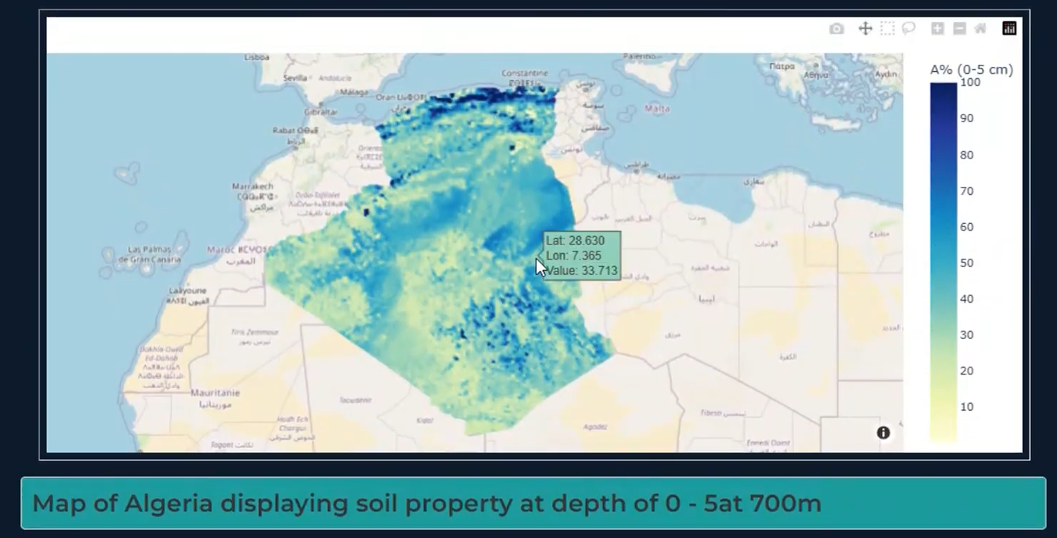
SUELO — AI-Powered National Soil Intelligence Platform
SUELO is a national research and innovation project developed in collaboration with Algeria's Ministry of Agriculture, aiming to build a next-generation GeoAI platform for soil characterization, monitoring, and assessment. The platform combines AI, remote sensing, and geospatial analytics to deliver actionable insights into soil properties, support sustainable agricultural practices, and improve land-use planning in the context of climate change.
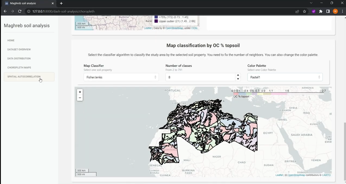
Exploratory Spatial Data Analysis (ESDA) soil analysis dashboard
This project focuses on the design and implementation of a spatial data warehouse and interactive analytical dashboard for exploring and mining soil data across the Maghreb region.
Methane detection
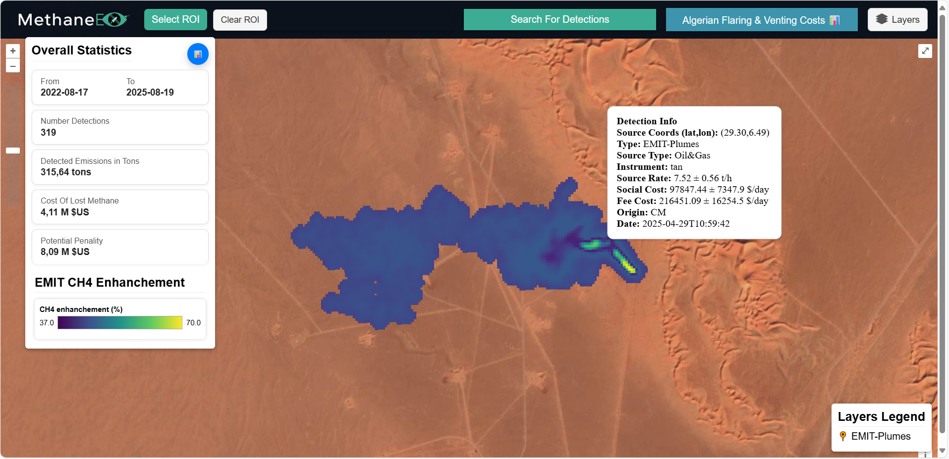
MethaneEye – Methane Plumes Detection and Quantification
MethaneEye is an integrated geospatial platform designed to detect, quantify, monitor, and visualize methane emissions using satellite remote sensing data. By combining observations from multiple satellite missions with meteorological data and oil and gas infrastructure information, the platform provides a unified workflow for identifying methane emission events and estimating their potential environmental and economic impacts.
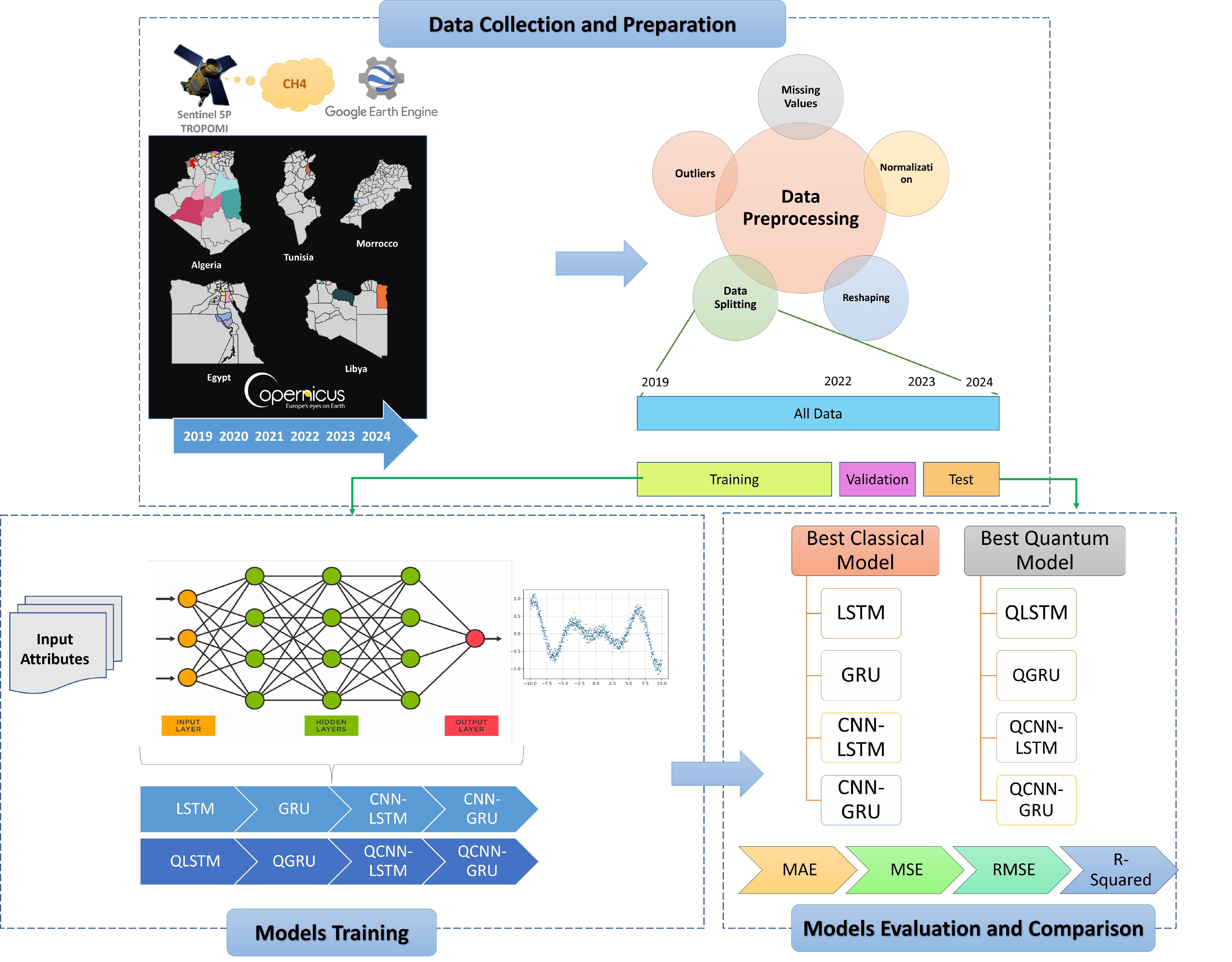
Hybrid quantum-classical models for methane emissions forcasting
Quantum recurrent and quantum-convolutional models that forecast next-day methane levels from Sentinel-5P data across five North African countries.
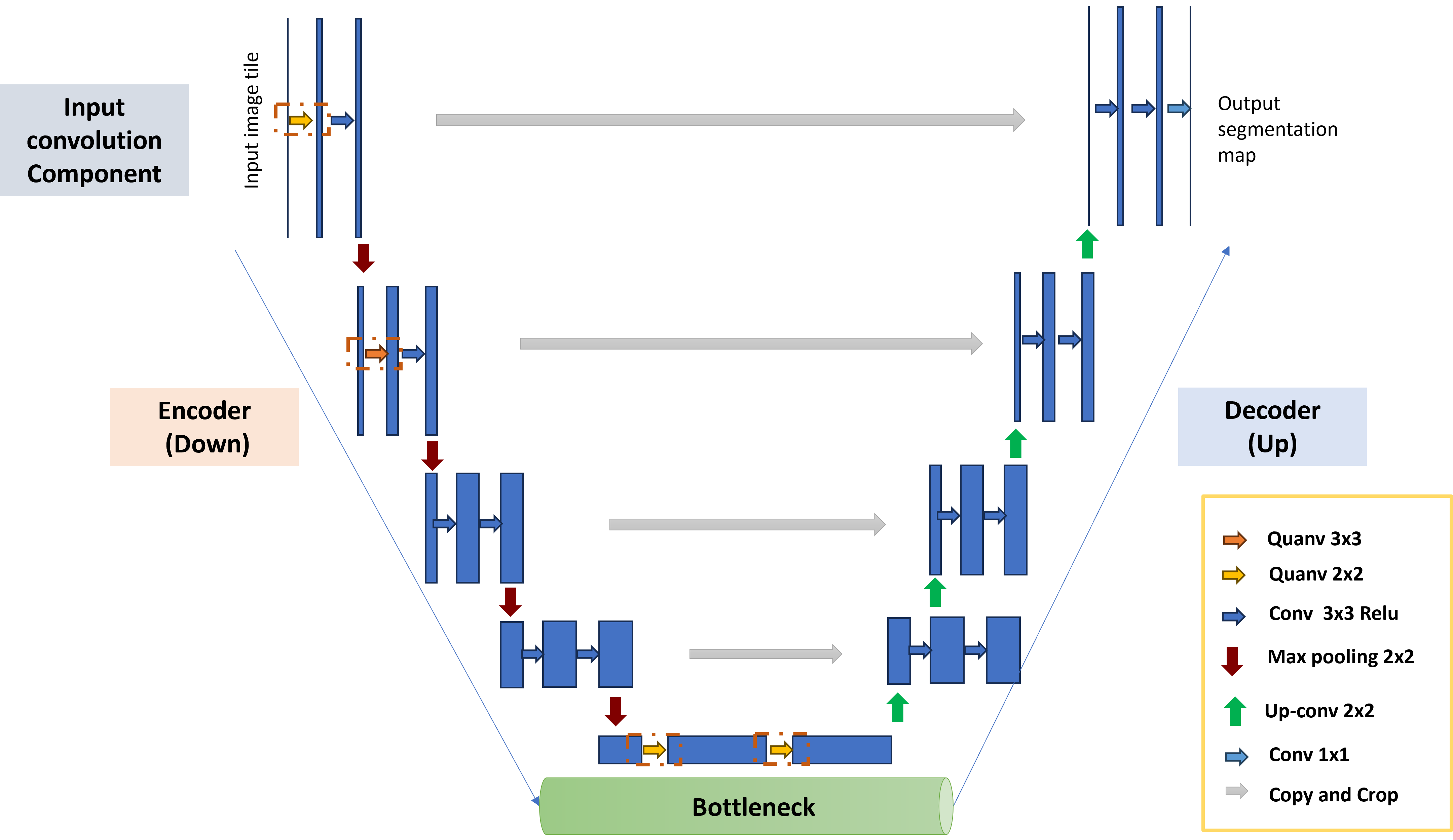
Hybrid quantum-classical U-net for methane leaks detection
A U-Net that embeds quantum convolution layers inside its encoder, trained to segment methane plumes in Sentinel-2 imagery over Algeria, Turkmenistan and the United States.
